The digital landscape is undergoing a profound transformation. We are moving away from the era where maps were simply small, static windows on a contact page. Today, we are seeing a shift where spatial intelligence becomes the very skeleton of the internet experience. As a biologist and a web designer, I see this as an organic evolution. Nature does not use a flat grid to organize life. It uses three dimensions and complex relationships. We are finally bringing that natural complexity to the web.
The future of GIS in Modern Web Design is not about looking at a map. It is about living inside a map. By using biophilic design, we can make websites feel like real places. This helps people find their way without getting tired or confused. In this guide, I will show you how we are using these tools to build a better, more natural internet. We will look at how artificial intelligence helps us see the world and how 3D models change our view. We will also talk about how to keep our designs fast and green for the planet.
Table of Contents
The Spatial Paradigm Shift
In the past, maps on websites were like pictures hanging on a wall. You could look at them, but they did not interact with the rest of the room. Now, GIS in Modern Web Design has changed. A map is no longer just a picture. It is a smart layer that connects everything on a website. This is what we call a spatial paradigm shift. It means we are changing the way we think about the space inside our computer screens.
When we use GIS in Modern Web Design, we are using the same rules that help animals find food or help plants grow toward the light. This is part of biophilic design. Nature is very good at helping things get from point A to point B. By using spatial intelligence, we can make websites that feel like a walk through a garden rather than a walk through a dark hallway. This makes the user feel calm and happy.
The goal of GIS in Modern Web Design is to make the internet feel like a part of our physical world. When you use a phone to find a store, you are using this technology. But in the future, every website will use this to show you data. If you are looking at a site about trees, the site might change based on where you are sitting. It might show you the trees that live near you. This is how we use GIS in Modern Web Design to make the web feel alive and personal.
GeoAI and Predictive Spatial Analytics
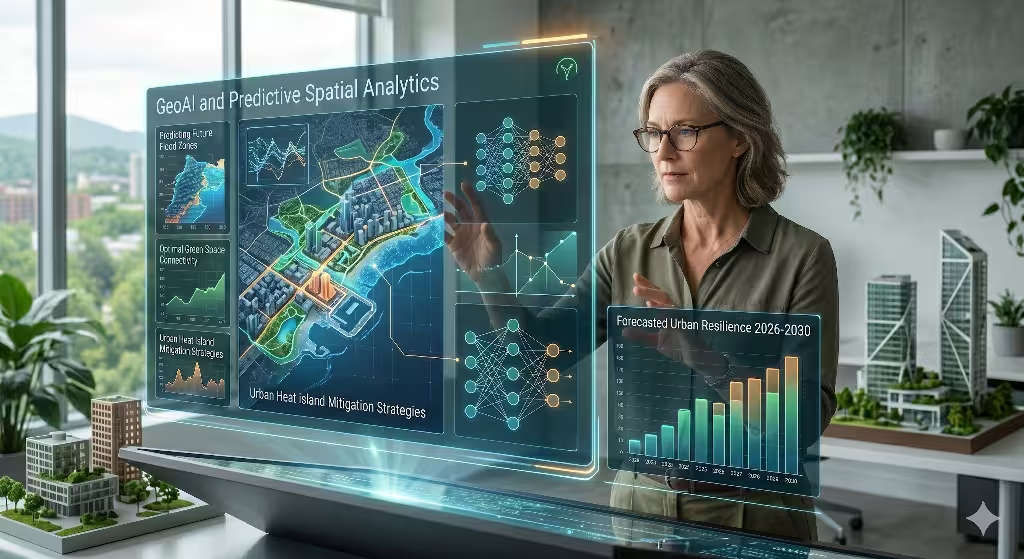
One of the most exciting parts of GIS in Modern Web Design is something called GeoAI. This stands for Geographic Artificial Intelligence. Basically, it means we are teaching computers how to understand maps. In the old days, a human had to draw every line on a map. Now, the computer can look at a satellite photo and know exactly where a building is or where a river flows.
This is a huge deal for GIS in Modern Web Design. It allows us to create websites that update themselves. If a new park is built in your town, the website can find it using AI. We can also use this to predict what people will do next. This is called predictive analytics. If the computer knows you like to visit parks, it can show you a map of the best walking paths as soon as you open the site. This is a very smart way to use GIS in Modern Web Design.
We are also using something called Large Language Models. These are the same tools that help computers talk like humans. When we mix them with GIS in Modern Web Design, you can ask a website a question like: Where is the sunniest spot to sit in Boston today? The computer looks at the map data and the weather data and gives you an answer. This makes GIS in Modern Web Design feel much more friendly and easy to use.
3D Geospatialization and Digital Twins
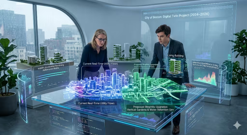
Most maps we see on the web are flat. But the real world is not flat. That is why the next big step for GIS in Modern Web Design is 3D. We are now building what we call Digital Twins. A Digital Twin is a perfect 3D copy of something in the real world, like a building or a whole city.
When we put a Digital Twin into GIS in Modern Web Design, it looks like a video game. You can fly through the streets or look inside the windows. This is not just for fun. It helps designers see how a new building might block the sun for its neighbors. It also helps us see how water might flow during a big rainstorm. By using 3D GIS in Modern Web Design, we can solve real problems before they even happen in the real world.
Using 3D tools like WebGL and WebGPU makes these maps run very fast in your web browser. You do not need a giant computer to see them anymore. This is a core part of GIS in Modern Web Design in 2026. It allows us to show things like “Living Buildings.” These are buildings that have plants on them and help clean the air. By showing them in 3D, we help people understand why nature is so important in our cities. This is the heart of how we use GIS in Modern Web Design to help the earth.
Real-Time, Cloud-Native Workflows
In the past, if you wanted to see data on a map, you had to wait for a long time. The map had to load, and then the data had to load. It was very slow. But with new GIS in Modern Web Design, everything happens in real time. We use something called edge processing. This means the computer work is done very close to where you are. This makes the map feel instant.
This speed is very important for GIS in Modern Web Design. Imagine you are looking at a map of air quality in your city. If the map is ten minutes old, it might not be right anymore. With real-time GIS in Modern Web Design, you can see the smoke or pollution moving across the screen as it happens. This helps people stay safe.
We also use something called vector tiles. Think of these like tiny Lego bricks of data. Instead of sending one giant picture of a map, the server sends thousands of tiny pieces. Your phone or computer puts them together very quickly. This is one of the best ways to make GIS in Modern Web Design work on slow internet. It ensures that everyone, no matter where they live, can use these tools.
Biophilic GIS: Humanizing Data Visualization
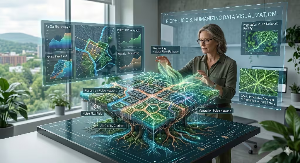
At Silphium Design LLC, we believe that technology should look like nature. Many websites use hard boxes and straight lines. But nature uses curves and organic shapes. We use GIS in Modern Web Design to bring these shapes to the screen. For example, we might use a Voronoi pattern. This is a shape often seen in the cells of a leaf or the wings of a dragonfly.
When we use these natural patterns in GIS in Modern Web Design, the website feels more comfortable. We also use “atmospheric layering.” This is a fancy way of saying the website changes based on the world around you. If it is sunset where you are sitting, the website might turn a soft orange color. If it is raining, the map might have a cool, blue tone. We use GIS in Modern Web Design to connect your digital life to your real life.
We call this “computational botany.” We take the math behind how plants grow and we use it to build websites. This makes GIS in Modern Web Design more than just a tool for navigation. It makes it a tool for art and for feeling connected to the planet. When people see data that looks like a living thing, they care more about it. This is why biophilic GIS in Modern Web Design is so powerful.
Common Questions about GIS in Modern Web Design
When people talk about the future, they often have a lot of questions. I want to answer some of the most common ones about GIS in Modern Web Design.
What is modern GIS in web design?
Modern GIS in web design is the use of smart maps and spatial data to make websites better. It is not just a map on a page. It is a system that knows where you are and shows you the most helpful information. It uses things like APIs and SDKs to make the map a part of the website code. This is the new standard for GIS in Modern Web Design.
How does AI impact the future of GIS?
AI makes GIS in Modern Web Design much faster and smarter. It can look at millions of pieces of data and find patterns that humans might miss. It can also help draw maps automatically. This means that GIS in Modern Web Design will be able to show us things in real time that we never could see before.
Can GIS be used for sustainable web design?
Yes, it can. Sustainable web design is about using less energy. By using smart vector tiles in GIS in Modern Web Design, we send less data over the internet. This uses less electricity. Also, we can use GIS in Modern Web Design to show people how to live in ways that help the earth.
What are the benefits of 3D GIS in web applications?
The biggest benefit is that it helps people understand complex ideas. A flat map can be hard to read. A 3D map in GIS in Modern Web Design feels natural. It lets you see how big a building is or how a hill looks. This makes it much easier to make good decisions about our cities and our world.
Sustainability and Ethical Spatial Data
We must always think about the planet when we build websites. Every time you load a webpage, it uses a little bit of power. If a website has a giant map, it might use a lot of power. That is why we focus on green SEO and efficient GIS in Modern Web Design. We want our maps to be beautiful, but we do not want them to hurt the earth.
By optimizing how we use GIS in Modern Web Design, we can make maps that load fast and use very little energy. This is part of being a responsible designer. We also have to think about privacy. Since GIS in Modern Web Design knows where you are, we have to be very careful with that data. We must make sure that people feel safe and that their personal information is protected.
Finally, we use GIS in Modern Web Design to help with “resilience planning.” This means we use maps to help cities get ready for things like climate change. We can show people where it might flood or where it might get too hot. By sharing this data through GIS in Modern Web Design, we can help save lives and protect our homes. It is a way to use technology for the greater good.
The Convergence of Data and Nature
As we look toward the future, it is clear that GIS in Modern Web Design will only become more important. We are moving toward a world where the internet and the physical world are joined together. This is a very exciting time to be a designer. By using GIS in Modern Web Design, we can build tools that are smart, beautiful, and helpful.
We have learned that maps are no longer just pictures. They are living systems. When we use GIS in Modern Web Design, we are using the power of science to tell better stories. We are using AI to see the world more clearly. We are using 3D models to explore our cities. And we are using biophilic design to make sure we stay connected to nature.
The future of GIS in Modern Web Design is about balance. It is about balancing data with beauty and technology with the environment. If we do this right, we can make an internet that feels as natural as a walk in the woods. This is the mission of Silphium Design LLC. We want to use GIS in Modern Web Design to make the world a better place for everyone.
The map is no longer just a tool we use to find our way. In the world of GIS in Modern Web Design, the map is the interface. It is the way we interact with everything around us. I hope you will join us in this journey to build a more spatial and more natural web.
Technical Glossary for GIS in Modern Web Design
To help you understand some of the harder words, here is a simple list of terms we use in GIS in Modern Web Design.
- Spatial Data: This is information that is connected to a specific place on Earth. It is the core of GIS in Modern Web Design.
- Vector Tiles: Small pieces of map data that load very fast. They are essential for modern GIS in Modern Web Design.
- WebGPU: A new technology that helps your computer show 3D graphics very quickly inside a web browser. It is a big part of the future of GIS in Modern Web Design.
- API: A way for different computer programs to talk to each other. We use APIs to put maps into GIS in Modern Web Design.
- Digital Twin: A virtual copy of a real-world object. It is a key tool in 3D GIS in Modern Web Design.
By mastering these terms and tools, we can continue to push the limits of what is possible. The field of GIS in Modern Web Design is growing every day. We are proud to be a part of it, and we look forward to seeing how these tools will change our lives for the better in 2026 and beyond.
Final Thoughts on GIS in Modern Web Design
In my work as a botanist and a designer, I have always seen the link between biology and computer science. GIS in Modern Web Design is the perfect bridge between these two worlds. It allows us to take the complex data of the world and show it in a way that is easy to understand. This is the true power of GIS in Modern Web Design. It turns numbers into pictures and data into feelings.
As we continue to develop new ways to use GIS in Modern Web Design, we must always keep the user in mind. A website should be easy to use and helpful. By using the principles of biophilic design, we ensure that GIS in Modern Web Design serves people, rather than making things more complicated. This is how we create a web that is truly modern and truly human.
Thank you for reading this guide on GIS in Modern Web Design. We hope it has given you a better understanding of where we are going. The future is bright, and it is beautifully mapped.